

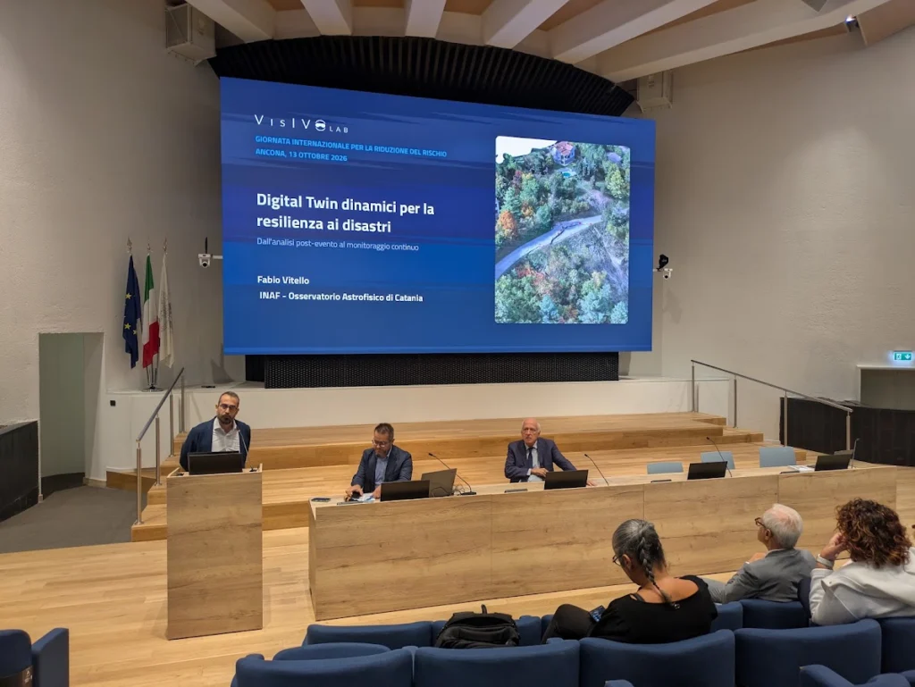
Ancona, 13 October 2026 — How can drone observations, artificial intelligence and high-performance computing help communities understand the environments they live in, and respond when those environments change?
This question was at the centre of the contribution presented by Fabio Vitello, Senior Technologist at the INAF Catania Astrophysical Observatory, whose work focuses on scientific visualization and the application of AI methods to environmental monitoring, during the International Day for Disaster Risk Reduction hosted by Università Politecnica delle Marche at the Monte D’Ago Campus. The 2026 edition of the global campaign, promoted by UNDRR, was dedicated to the theme Resilience Starts at Home: safer buildings, prepared citizens, and communities able to reduce risk before it turns into disaster.
The talk, entitled “Dynamic Digital Twins for disaster resilience: from post-event analysis to continuous monitoring”, traced the evolution of research activities at VisIVOLab, the INAF competence centre for scientific visualization and data analytics — from high-resolution three-dimensional reconstruction of disaster-affected areas, towards continuously updated digital representations of the territory.
From astrophysical datasets to the territory
A distinctive element of the INAF contribution is the transfer of methods originally developed for astrophysics. VisIVOLab has worked since 2005 on the problem of making large, complex three-dimensional datasets intelligible — cosmological simulations, survey catalogues, data cubes. Over recent years the same methodological framework, from semantic segmentation to immersive exploration, has been applied to terrain models, landslides and damaged buildings. The scientific question remains the same: how to make visible what data contain but do not show.
What has been demonstrated: the HaMMon project
Within the HaMMon project, carried out together with the University of Milano-Bicocca and ENEA, the laboratory has demonstrated an end-to-end workflow for the reconstruction and analysis of disaster-affected areas.
The reference case is Tredozio, in the province of Forlì-Cesena, struck in 2023 by floods, landslides and a magnitude 4.9 earthquake. In October 2024 a three-day UAV campaign covered eight areas of the municipality, from unstable slopes to the historic town centre, with ground resolutions ranging from approximately 1 cm/pixel on slope-scale surveys to 4 mm/pixel on building façades, enabling the documentation and analysis of fine-scale façade features, including visible cracks.
The campaign produced measurable three-dimensional models, inspection tools accessible from a standard browser as well as through immersive visualization, and preliminary results in the semantic segmentation of UAV imagery, with buildings automatically identified and the corresponding classes transferred onto the three-dimensional geometry. Automatic damage classification remains under development.
The work also made a structural limitation explicit: processing a single slope survey of around 500 images required approximately six hours on a GPU workstation, and up to eighteen hours for the built-up area — indicative figures, dependent on hardware and processing configuration. While manageable for post-event analysis, these processing times represent a significant bottleneck for frequent updates and time-sensitive applications.
What is being developed: the ECHO-TWIN project
These limitations define the research agenda of ECHO-TWIN, the national project coordinated by ICSC — the Italian National Research Centre on High Performance Computing, Big Data and Quantum Computing — which started in May 2026 and in which INAF participates alongside geotechnical, computational and industrial partners.
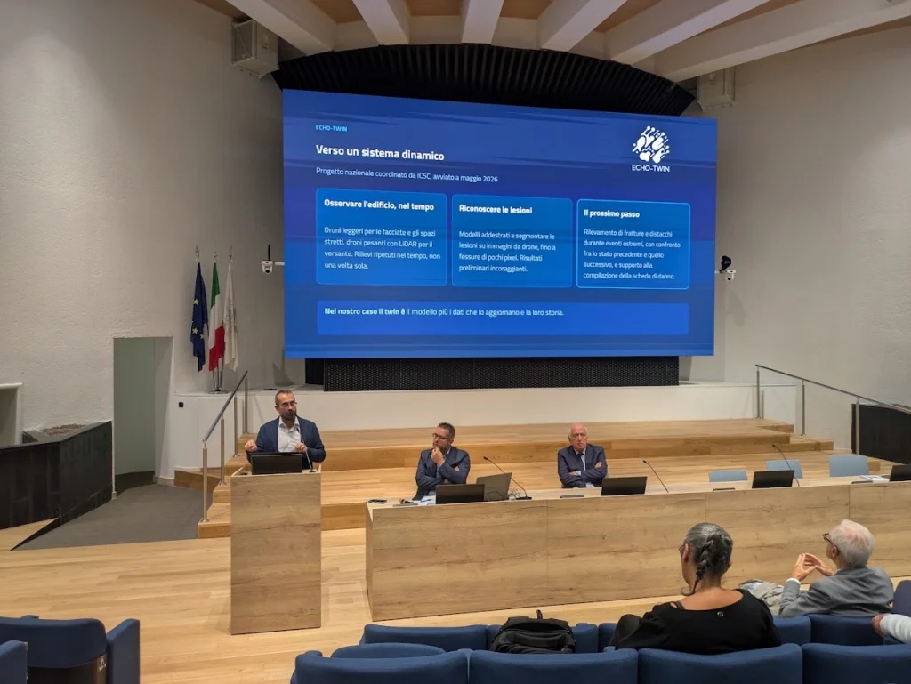
The talk outlined three directions currently under development.
Repeated observation of the built environment, combining lightweight, highly manoeuvrable platforms for façades and confined spaces with heavier systems carrying LiDAR and thermal sensors at slope scale, moving from a single post-event survey towards periodic acquisition.
Automatic recognition of structural damage, with models being trained to segment cracks on high-resolution drone imagery, and the planned detection of fractures and detachments during extreme events, compared against the previously recorded state of the same structures. Results at this stage are preliminary.
Distributed processing across the edge–cloud–HPC continuum: lightweight inference close to the field, where connectivity is limited and only synthetic information can be transmitted immediately, and full model reconstruction on high performance computing infrastructures. The project aims to develop and validate this architecture, which is not yet operational as an integrated system.
Within ECHO-TWIN, the enhancement of the INAF Scientific Visualization Laboratory with immersive capabilities is also foreseen, explicitly including its use as a space for training and engagement with civil protection bodies, public administrations and citizens.
Why visualization matters
The final part of the talk addressed a question that Vitello noted is often overlooked: once models and algorithms produce a result, who examines it, and with which tools?
Immersive exploration allows a technician to inspect an unsafe building at real scale without entering it, to examine AI-detected features in their spatial context and support expert validation of potential structural damage, and to return to the documented state of a structure years later, after reconstruction has altered or removed it. Equally relevant for a public event: three-dimensional models make technical evidence more accessible to administrators, civil protection operators and citizens.
As stressed in the closing remarks, none of this replaces on-site inspection or shifts responsibility away from qualified professionals. The objective is to narrow the field, document the evidence, and make the basis of a decision traceable.